
Land Registry Plans
- Home
- Land Registry Plans

MON-FRI 9am to 5pm
01254 505031


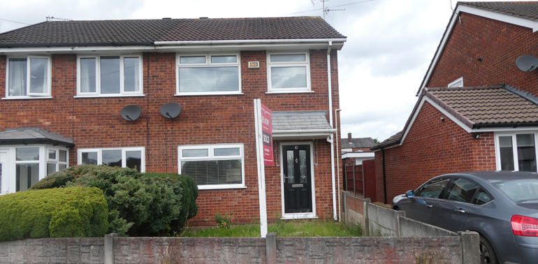
Creation of accurate, scaled, and OS-based plans suitable for HM Land Registry submission. Used for new leases, title splits, boundary changes, and legal conveyancing.Creation of accurate, scaled, and OS-based plans suitable for HM Land Registry submission. Used for new leases, title splits, boundary changes, and legal conveyancing.
Clients
- Solicitors and conveyancers
- Developers and landlords
- Leaseholders and freeholders
- Estate agents
Why Our Land Registry Plans Stand Out
- Scale-accurate
- LR-compliant
- Dispute-proof
- Fast-tracked

First Registrations
Creating new title plans for unregistered land.
Boundary Adjustments
Documenting land transfers and easements.
Leasehold Plans
Precise floor-level mapping for flats and apartments.
TP1/TR1 Support
Plans for property transfers and deeds.
Affordable
Cost
Cost
Fast
Delivery
Delivery
Why You Need Land Registry Plans?
Land Registry-compliant plans are a legal requirement for many property transactions and must meet strict guidelines.
What scale should a Land Registry plan be?
Typically 1:1250 for urban properties, 1:2500 for rural, with clear boundary markings.
How long does preparing a plan take?
Usually 2-5 working days depending on property complexity.
Can you fix rejected Land Registry plans?
Yes, we resolve common issues like unclear boundaries or incorrect scales.
Do you handle complex boundary disputes?
Yes, combining historical deeds with modern GPS mapping techniques.
Book Your Survey Today!
Definitive Boundary Solutions for Secure Ownership
Land Registry plans form the legal foundation of property ownership, yet many homeowners and professionals struggle with vague or non-compliant mapping. Holden's Land Registry Plan Service transforms this uncertainty into clarity through precision drafting that meets both regulatory standards and practical needs.
Our specialists bridge the gap between physical boundaries and legal documentation by:
✔ Interpreting historical deeds and aerial evidence
✔ Verifying boundaries with GPS technology
✔ Drafting to exact HM Land Registry specifications
✔ Resolving 'general boundaries' into definitive lines
✔ Preparing expert evidence for disputed cases
For homebuyers, this means confidence in what you're purchasing. For solicitors, it ensures smooth transactions. And for landowners, it provides permanent resolution to long-standing boundary uncertainties.
With increasing scrutiny on title accuracy, our service delivers:
Faster processing (reducing typical 6-8 week registration times)
Stronger legal protection against future disputes
Clearer visual documentation than verbal property descriptions
Cost savings by preventing registration rejections
Trust our mapping experts to create plans that don't just meet requirements - but provide lasting certainty for your property interests.
6 Benefits of Land Registry Plans
Ensures Compliance with Land Registry Standards
Our plans strictly adhere to HM Land Registry's technical requirements (scale, clarity, and accuracy), preventing administrative rejections.
Avoids Rejection or Legal Delays in Registration
Professionally drafted plans significantly reduce the 15% rejection rate for first registrations due to mapping issues.
Supports Lease Creation or Assignment
Provides precise floor-level mapping for leasehold properties, ensuring clear definition of demised areas.
Clarifies Ownership Boundaries
Accurate, scaled drawings with unambiguous markings eliminate ambiguity in property extents.
Useful in Boundary Dispute Resolution
Creates definitive evidence for mediation or tribunal cases, combining deed interpretation with modern GPS verification.
Simplifies Title Registration and Land Transfer
Streamlines conveyancing by providing transaction-ready plans for TP1/TR1 transfers and new registrations.
Trusted By Top Companies


How can we help!
If you have any questions? Get in touch
Get in Touch
We're here to help with your questions and needs
Here to Listen
No matter how basic or complex your question is, we are here to help